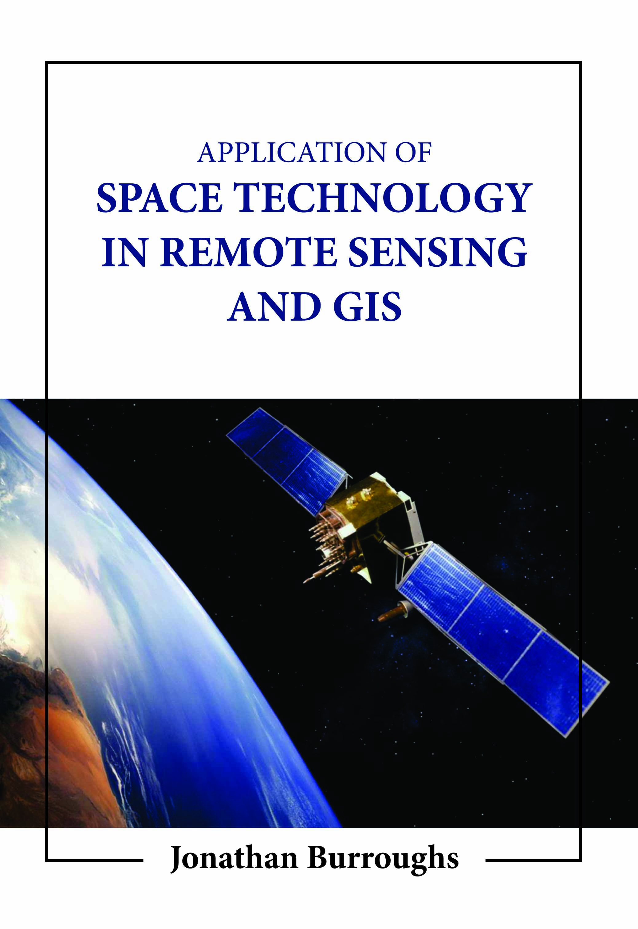
Application of Space Technology in Remote Sensing and Gis
by Jonathan Burroughs
| ISBN | 9781806244218 |
|---|---|
| Publisher | Digital Drive Learning |
| Copyright Year | 2026 |
| Price | $257.00 |
by Jonathan Burroughs
| ISBN | 9781806244218 |
|---|---|
| Publisher | Digital Drive Learning |
| Copyright Year | 2026 |
| Price | $257.00 |
Where is the closest movie theater? And other spatial data can be integrated and analyzed using geographic information systems alongside pertinent non-spatial data. Geographic information systems can function on various platforms and have three main capabilities. First, the observation of or gathering of data about a target by a device placed some distance away from it is referred to as remote sensing. In the 1960s, as the use of spy satellites started to transition from the military to the civilian sector, geographers at the US Office of Naval Research created the term "remote sensing." Over the last two decades, earth scientists, geologists, geographers, regional planners, environmentalists, and others have used remote sensing and geographic information system techniques extensively in a variety of fields, including mineral exploration, archaeological excavation, geographical and topographical analysis, terrain studies, urban planning, regional planning, natural resource management, and disaster management. By using remote sensing and geographic information systems, there are many opportunities to monitor and manage natural resources at many geographical, temporal, and spectral resolutions. This system is founded on new resources and tools made available by contemporary technologies. The reader who aspires to make the world a better and more meaningful place will gain a step-by-step understanding of geographic information sciences as a discipline and geographic information systems as a tool to comprehend the real world from this book.