Remote Sensing of Natural Resources
by Douglas Miles
| ISBN | 9789372420166 |
|---|---|
| Publisher | Digital Drive Learning |
| Copyright Year | 2026 |
| Price | $266.00 |
by Douglas Miles
| ISBN | 9789372420166 |
|---|---|
| Publisher | Digital Drive Learning |
| Copyright Year | 2026 |
| Price | $266.00 |
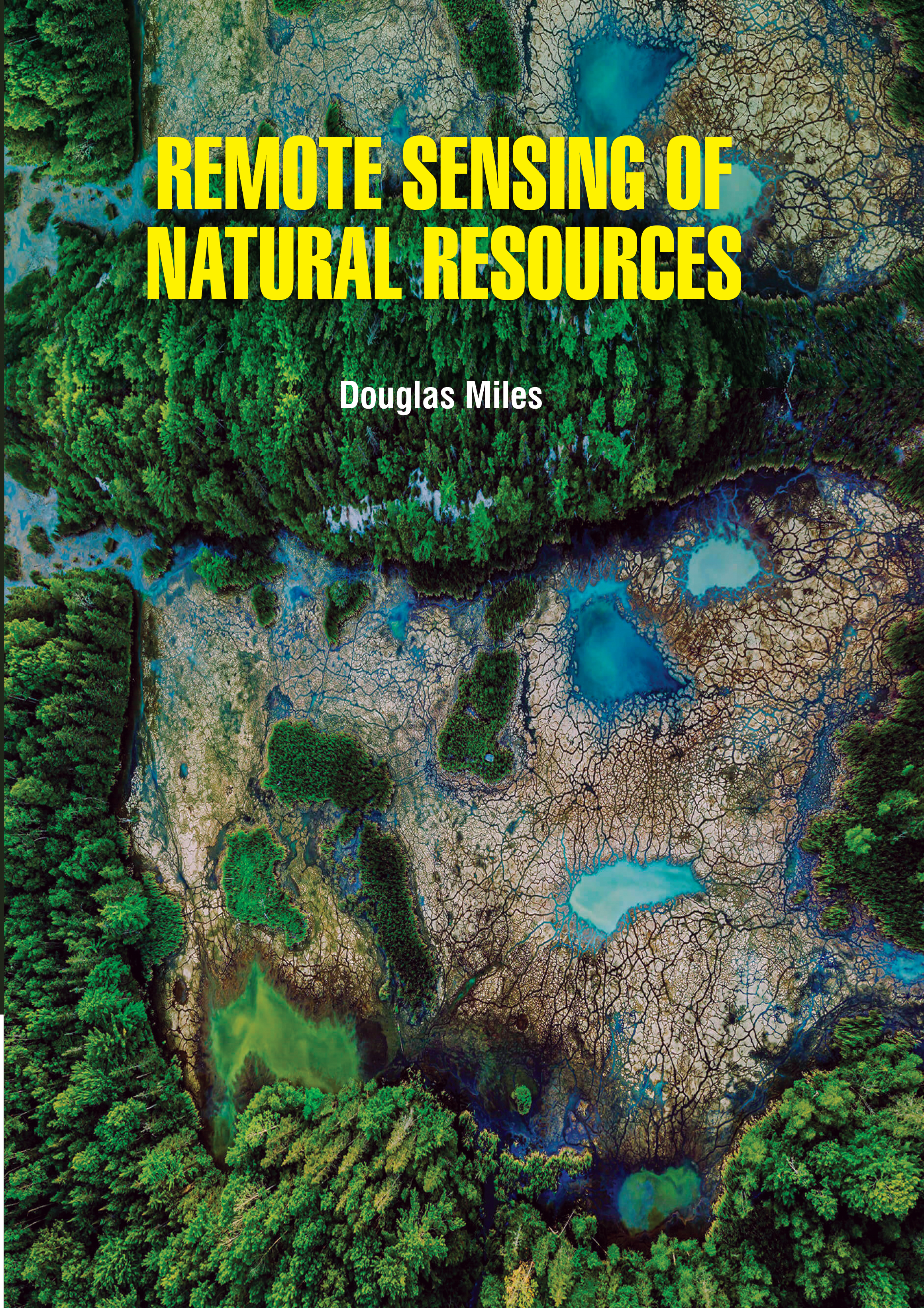
Remote sensing data are used to examine seasonal, interannual and spatial patterns in forest and rangeland health, wildlife habitat, and impacts of drought, wildfire, and diseases on our landscapes. “Remote sensing may be broadly defined as the collection of information about an object without being in physical contact with the object. Aircraft and satellites are the common platforms from which remote sensing observations are made. The term remote sensing is restricted to methods that employ electromagnetic energy as the means of detecting and measuring target characteristics”. Sustainable management of natural resources is an urgent need, given the changing climatic conditions of Earth systems. The ability to monitor natural resources precisely and accurately is increasingly important. New and advanced remote sensing tools and techniques are continually being developed to monitor and manage natural resources in an effective way. However, it is essential for nations to learn how to use these resources in a sustainable manner to ensure that their benefits are enjoyed in the present as well as future generations. This is because, these resources can be depleted if they are not utilized in an effective and efficient manner. At the present moment, the utilization of the resources present in the world has been overstretched due to the ever rising population of human beings. The design, performance and application of sensors for remote sensing of natural resources (vegetation, water, impervious surfaces, nutrients, and soil), water and energy fluxes, clouds, atmospheric pollutants, surface temperature and other land and aquatic resources is a very important front of remote sensing research to understands the physical, ecological, hydrological and environmental characteristics of surfaces and substances.